Tell it the ride
you want








Loops from your door
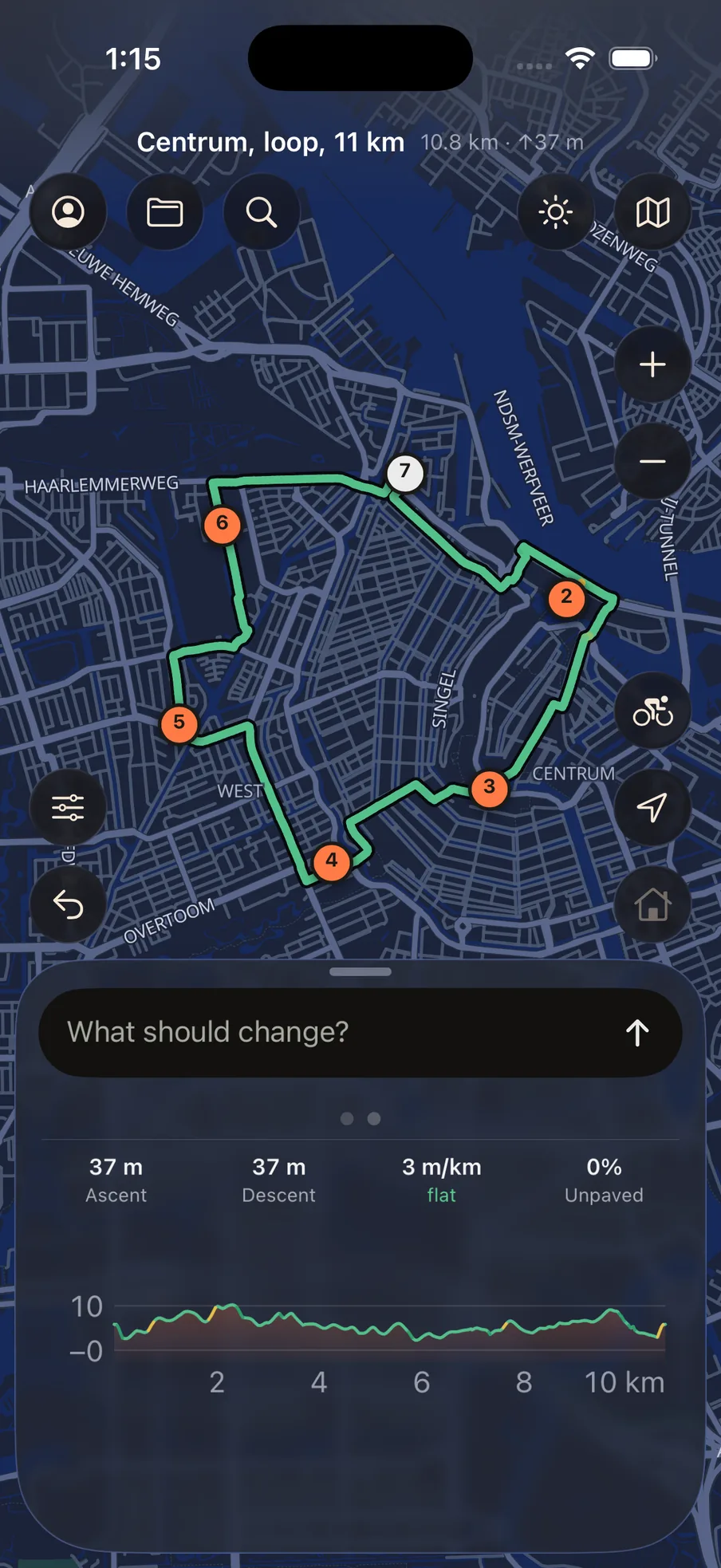
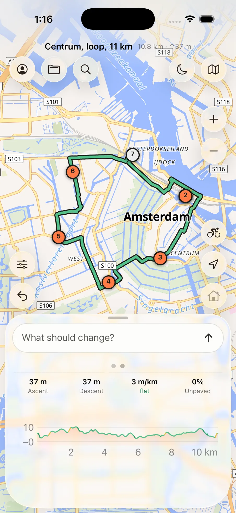
A ring that comes back
Ask for a distance and a mood and you get a closed circuit, not an out-and-back. The line is coloured by gradient, so the hard parts are visible before you commit to them.
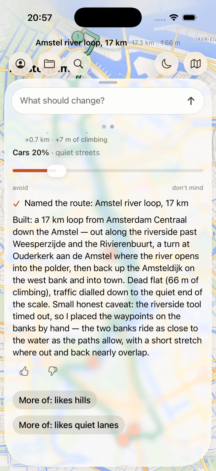
Reshape by words
Stop dragging pins around a map
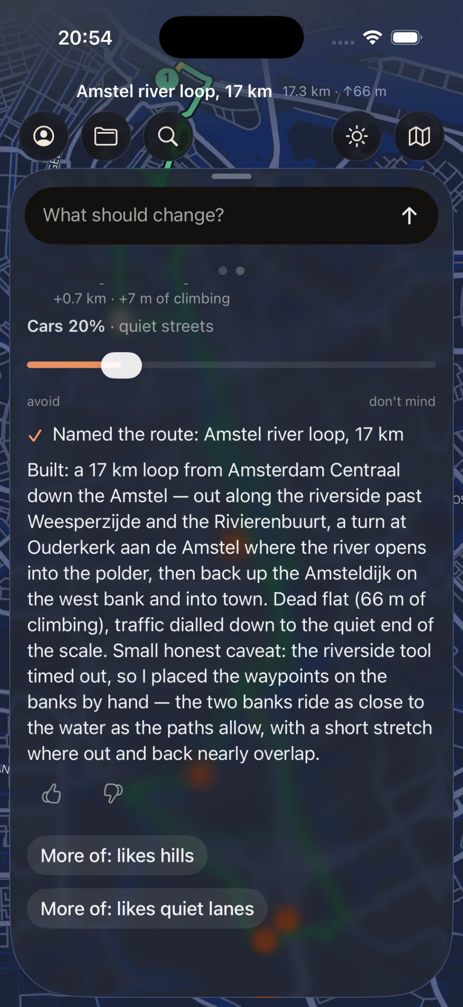
Every other planner makes you place control points and pray. Here you say what's wrong in a sentence, and the whole route is rebuilt with your request accounted for.
The parts you only notice when they're wrong
Every one of these exists because riders have complained about it for years somewhere else.
Surface counted, not promised
Counted per segment, drawn as a dotted line. You see it before you are on it.
No routes you can't ride
No illegal U-turns, no motorway slip roads, no paths where bikes are banned.
No detours for the sake of it
Spurs and stray loops are detected, and the anchor that caused them is fixed.
It remembers your words
Correct it once and it stays corrected. Everything it knows is listed, and removable.
Works without signal
Terrain and roads are cached on the phone. A route opens in a forest with no bars.
Your routes stay yours
GPX in and out, lossless. The file opens for a friend who has never heard of us.
Where it's going
Built so far, and what's next
Most of the hard part already works. What comes after it depends on what beta riders actually ask for.
- Route planning
- GPX in and out
- Turn-by-turn
- Betanow
- Health & Watchnext
Your feedback decides the order
Every report you send in the app comes straight to us — not to a queue, not to a bot. Apple Health, Apple Watch and the rest of the list move up or down depending on what you tell us you need.
Questions worth asking
What does it cost?
Nothing during the beta. We haven't set a price yet, and we'd rather say that than invent one. Planning routes and exporting GPX will not be the part we put behind a paywall.
How do I get in?
Through TestFlight, Apple's beta programme. Tap Join the beta to continue. The group is deliberately small so we can answer everyone.
Why is your climbing figure lower than everyone else's?
Because theirs is usually too high. Adding up every point-to-point difference in an elevation model sums its noise as well as its hills. We measure a smoothed field, which is what your legs experience.
Can I take the route to my Garmin or Wahoo?
Yes. Every route exports as GPX, and you can import a GPX you already have to rework it. Your rides are not locked in here.
Does it work outside the city?
Yes. Road data is downloaded for whatever region you ask about, so a loop in the Alps works the same as one along a canal.
Is there an Android version?
Not yet, and we would rather not promise a date. Right now the whole of our attention goes into making the iPhone app good.
What happens to my data?
Routes live on your phone. We do not sell anything, and there is no advertising in the app — there is nothing to sell you to.